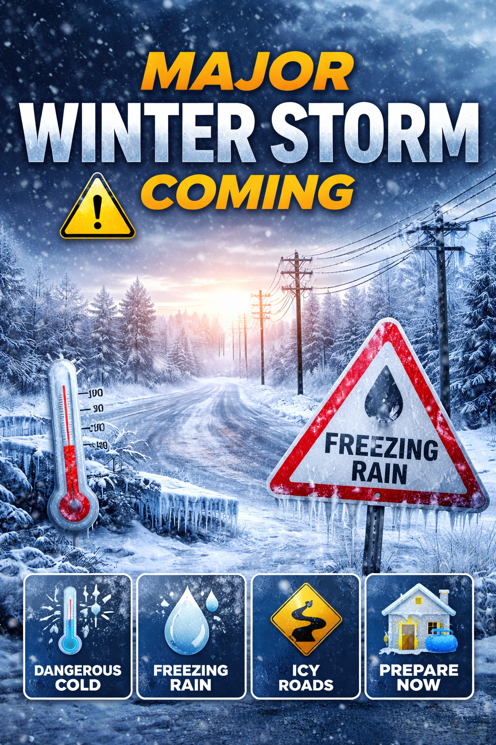
| A significant winter storm is headed our way, and the Houston metro area is included in a Winter Storm Watch from Saturday morning through Sunday afternoon. While details may shift, the overall message is clear: very cold temperatures, dangerous wind chills, and the potential for freezing rain and ice are increasingly likely this weekend into early next week. Here’s what residents should know right now: - Arctic air arrives Friday evening, with temperatures dropping quickly behind the front. A second, colder surge is expected Saturday.
- Hard freezes are likely Sunday, Monday, and Tuesday mornings, with temperatures staying below freezing for extended periods.
- Freezing rain and ice accumulation are possible Saturday and Sunday, especially north of I-10, with travel impacts likely across the region.
- Wind chills could fall into the single digits in parts of Harris County late Saturday through Monday.
- Even small amounts of ice can make roads, bridges, and overpasses extremely dangerous and may impact trees and power lines.
What you should do now: - Complete all winterization by Friday afternoon, including protecting exposed pipes and shutting off sprinkler systems.
- Prepare pets, plants, and people for prolonged cold.
- Limit travel during icy conditions and use heating sources safely.
Here is a list of warming centers: Warming Centers Winter Weather Update: Stay PreparedWeather forecasts are trending slightly less severe for the Houston area, but dangerous cold and the potential for ice are still expected this weekend into early next week. Residents should plan for hazardous travel on Sunday, along with a hard freeze late Sunday night into Monday morning. Ice accumulation remains possible, and even small amounts can make roads and bridges unsafe. CenterPoint Energy has activated its Emergency Operations Center, staged crews across the region, and expanded its workforce to more than 3,300 personnel to prepare for potential outages and restoration needs. ⚠️ Safety Reminder: Always assume downed power lines are live. Stay at least 35 feet away and report them immediately. Now is the time to complete winter preparations, protect pipes and pets, and limit outdoor exposure during the coldest periods. For updates, safety tips, and outage tracking, visit CenterPointEnergy.com/ActionCenter. Stay safe and take care of one another. Forecast timing and totals may change, but preparation should not wait. Please stay weather-aware, check on neighbors who may need help, and take steps now to protect your home and family. We’ll continue to share updates as conditions evolve. |